Overview
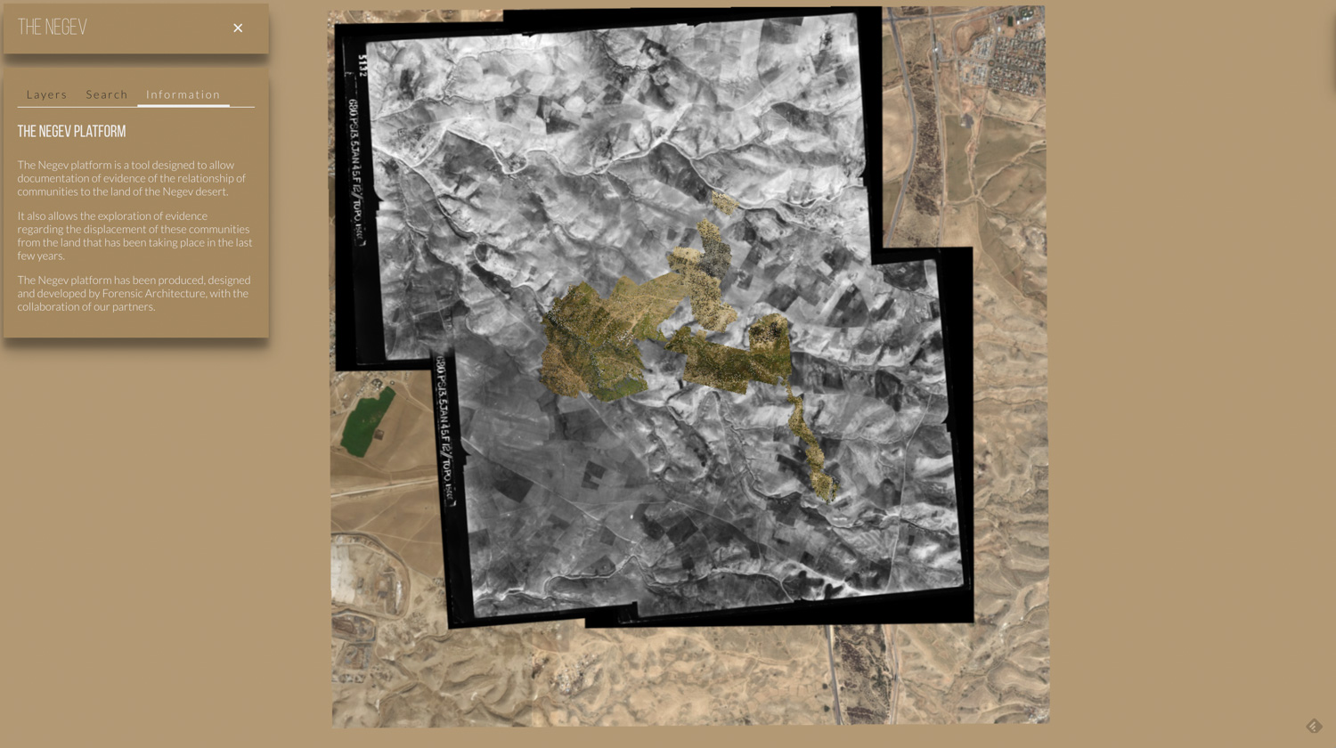
The Naqab platform is an ongoing project that aims at photographically mapping the presence and remnants of bedouin settlements in the unrecognized Palestinian Bedouin villages in the northern threshold of the Negev (Naqab) desert. The project aims to document and collate disparate legal and historical evidence for the continuity of their sedentary presence on the land as well as traces of their repeated displacement and destruction by government forces. The online platform is a resource for both research and advocacy on behalf of Bedouin land-rights. This first iteration of the project centers on the case of the village Al-Araqib, demolished over 111 times over the past since 2010. A second phase of the project will wish to expand the work into more unrecognised villages where the establishment of proof of continuity of presence can assist in
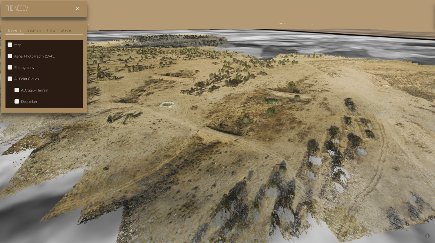
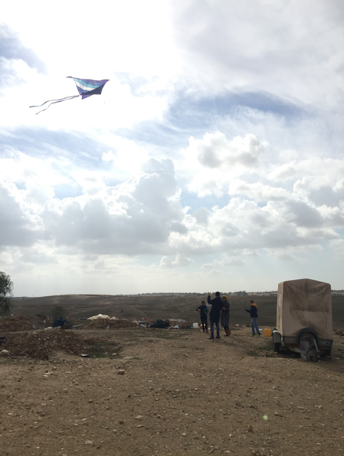
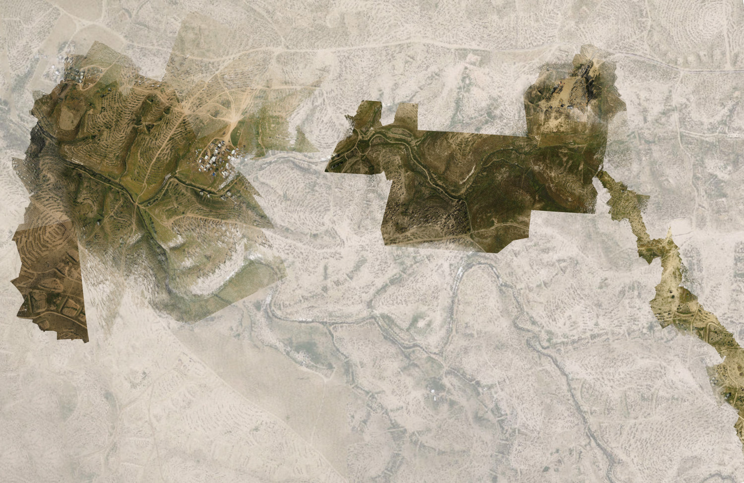
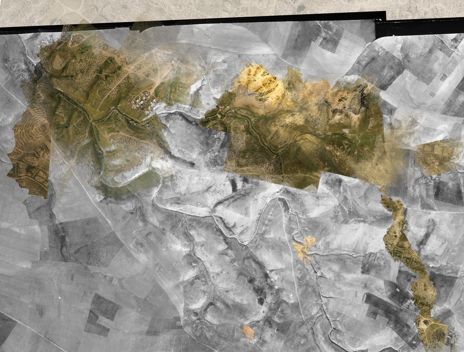
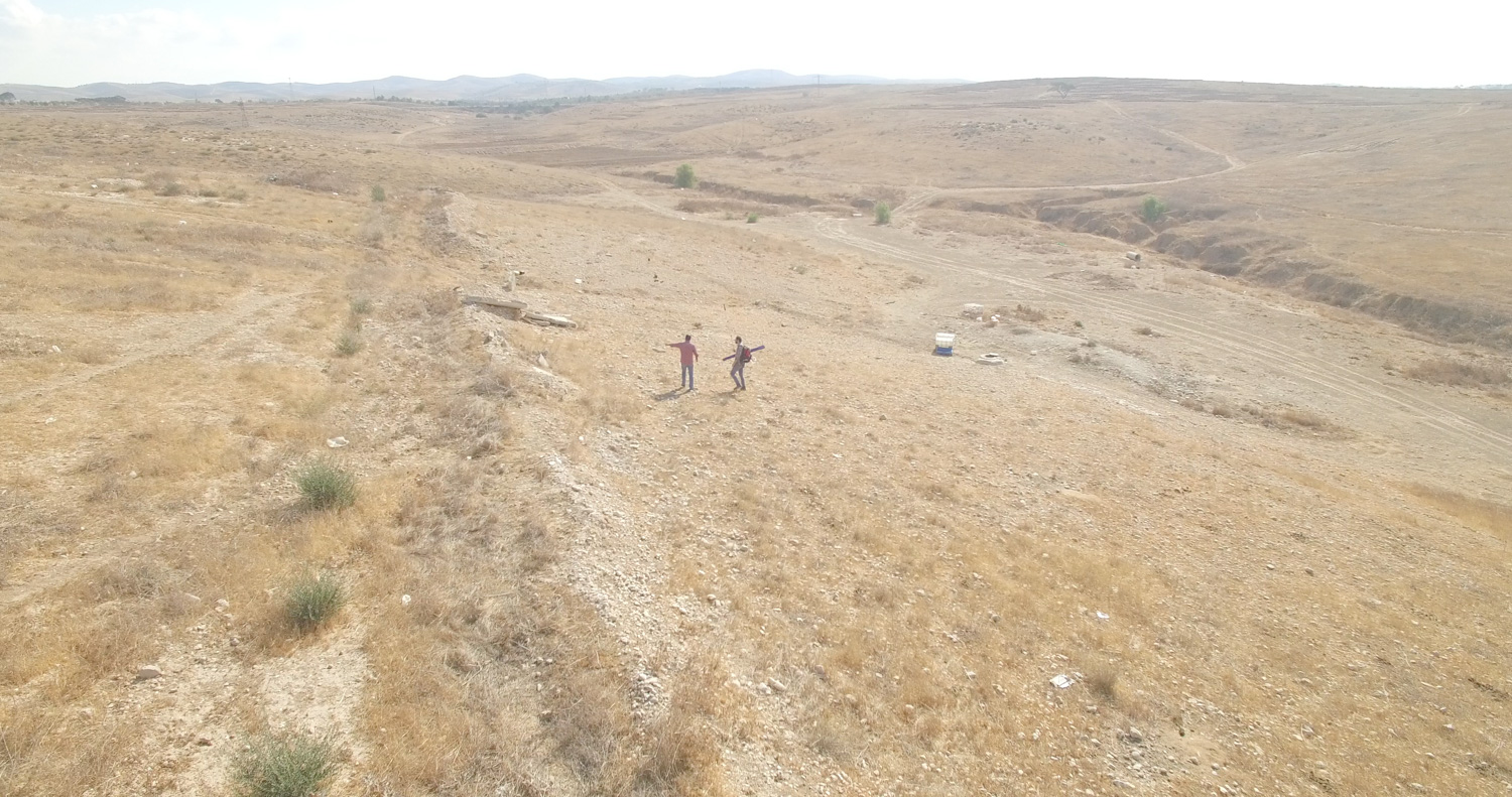
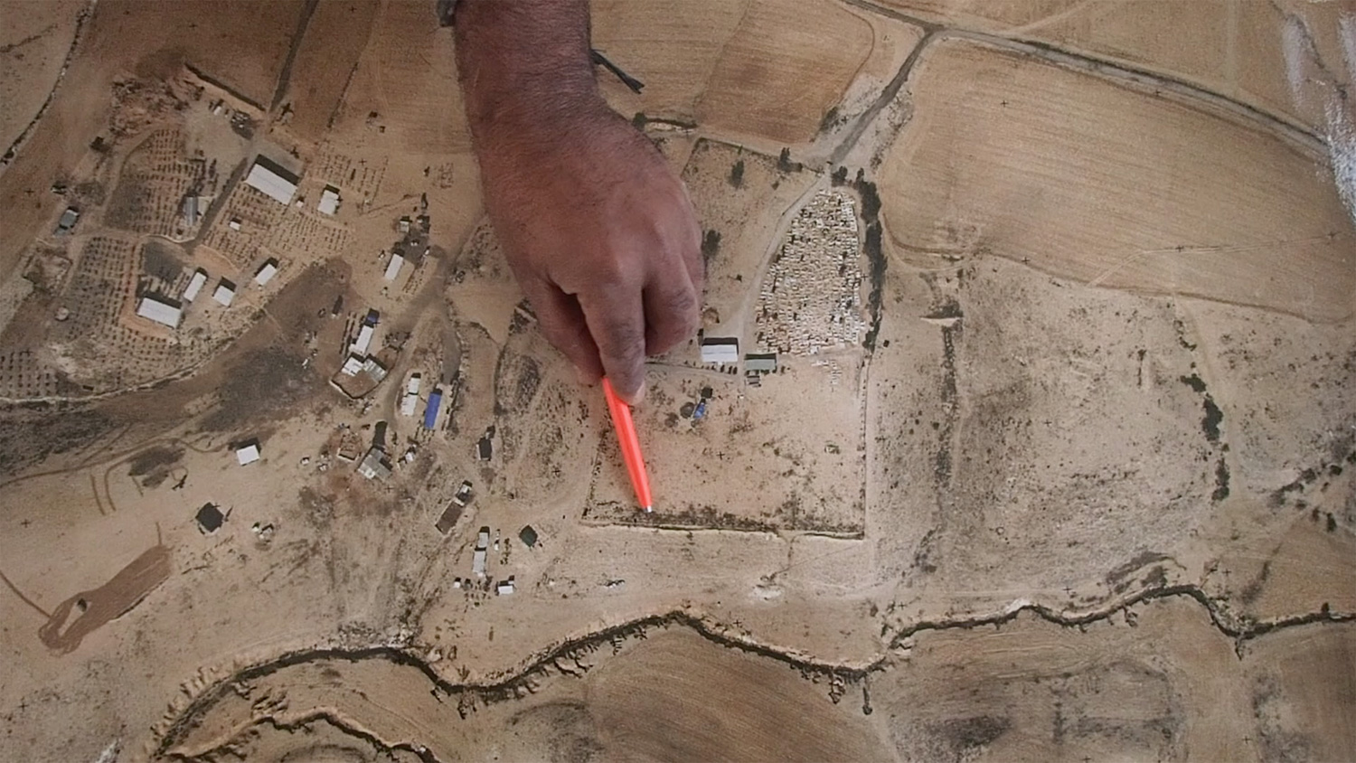
Flying kites and balloons equipped with simple cameras we are able to collect aerial views and compose them into 3D models through photogrammetry, creating detailed 3D point-cloud models of the Bedouin structures and environments still testifying for the existence of a Palestinian Bedouin population in the Negev.
Document and preserve spatial evidence of the historic presence of bedouins (Stone houses (Baikas), graves, wells, caves, grain storage holes etc.) that are at risk of being destroyed and covered-up by the JNF forest works.
Provide a research tool that would enable lawyers, prosecutors and judges to understand the various elements and stages of the aforementioned set of events.
Create effective and affective visual products (films, maps, models etc) for public advocacy.
Towards the achievements of these goals Forensic Architecture intends to use a unique combination of photogrammetry and open-hardware citizen science techniques, as well as develop new research tools that will be specific to the necessities of this case.
Negev Platform - (alpha version) (image captures)
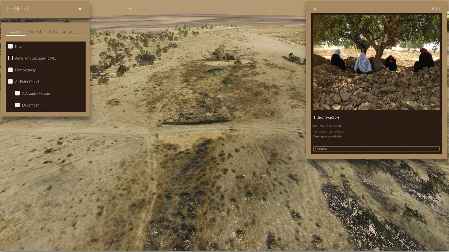
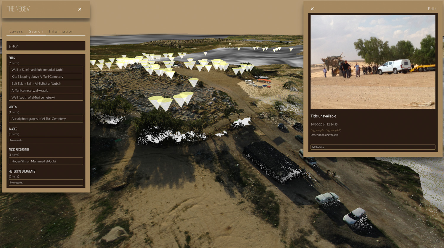
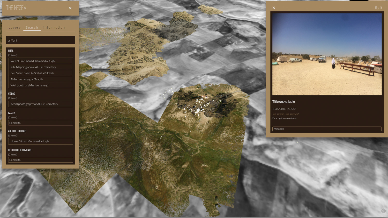

An example of images taken by ActiveStills members and Celphone images by bedouin residents, as they are automaitcaly plotted spatial according to their GPS metadata.
Screen recordings from the currently offline, in development version of the Negev Platform.
Technical Methodology Video
Video by Samaneh Moafi & Ariel Caine
Method
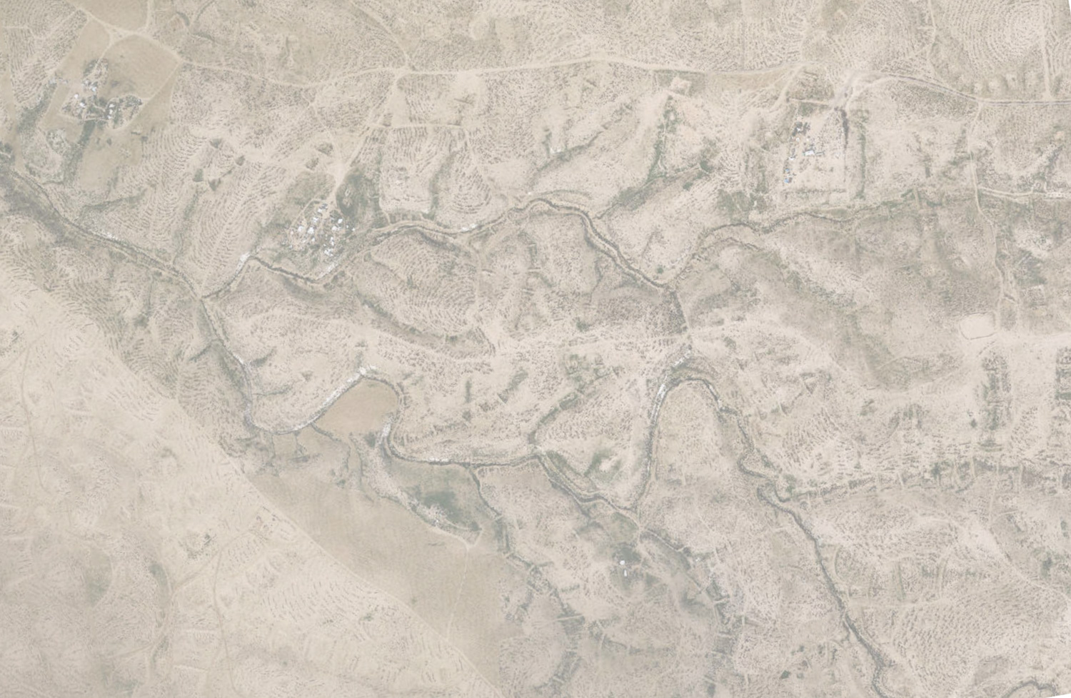
1. Kite and balloon aerial photography of areas as well as specific sites of interest. Such materials are then processed to create accurate to scale & georeferenced digital point-cloud reconstructions of the environment through photogrammetry techniques.
2. Photographs and videos from ground level, that are publicly and privately sourced. These would be located and timed, according to metadata and other time indicators.
Satellite images and Maps to be Georeferenced in order to allow layer overlays in order to inquire into the question of continuous bedouin presence and cultivation on the ground from before 1948.
3. Detailed 3D point-clouds of material remains of past sites such as Baika’s, wells, cisterns and caves. These detailed accurate to scale 3D documentations show the form and volume of these disappearing structures. They can also allow for a continued tracking of deterioration over time.
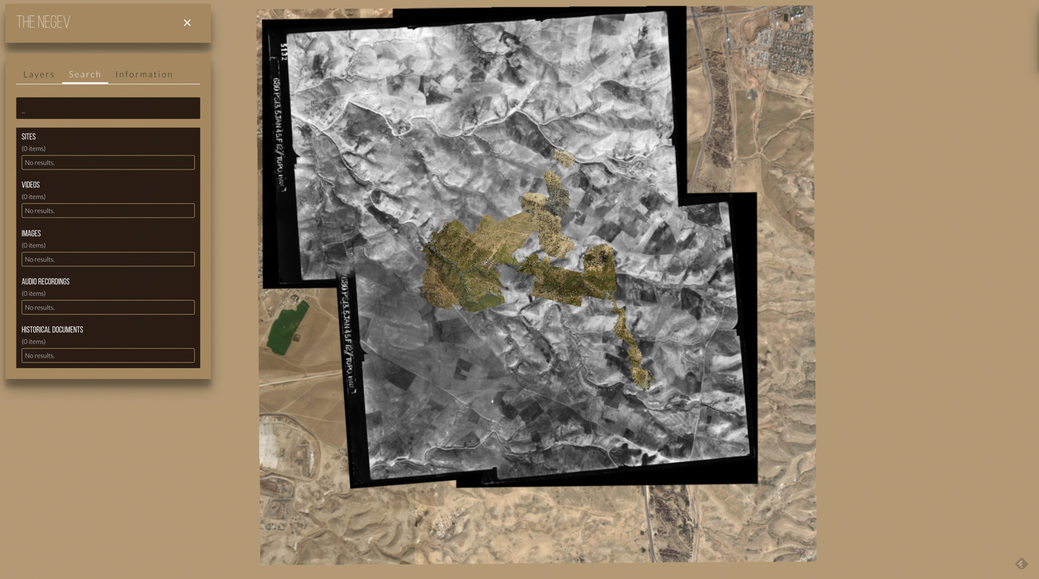
In order to spatialy register the recent processes of displacement we collect media (local bedouin mobile phone images and videos as well as those taken by activists) on-line and on the ground. this documentation data is plotted on the Naqab 3DGiS Platform, which also draws on FA’s Pattrn spatial analysis tools in order to enable visual, spatial and time based data and pattern analysis.

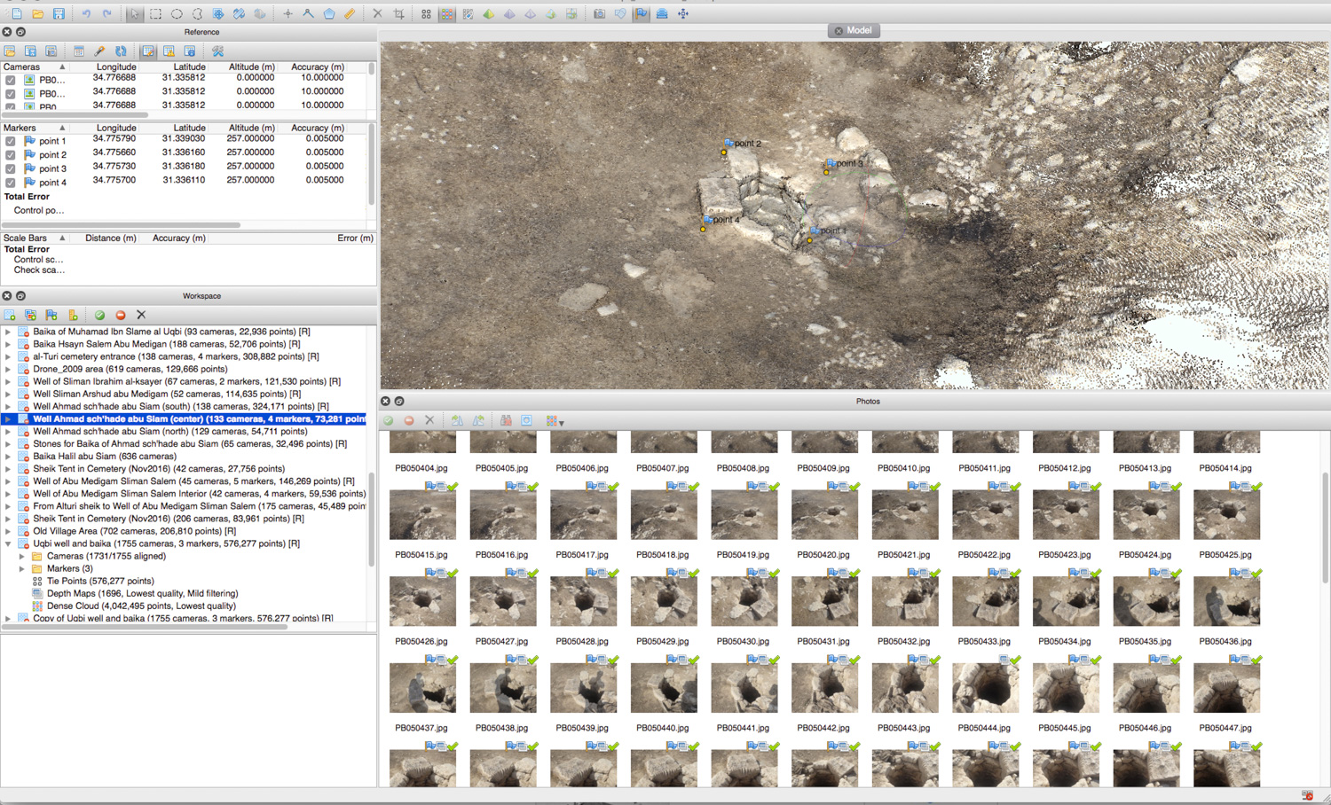


Point-Clouds Models from Photogrammetry in al-Araqib
process of Photogrammetry


